
It was interesting to read about the NOAA SLOSH (Sea, Lake, and Overland Surges from Hurricanes) program in Module 5. This is something that I had not previously heard about. Let us take a look at this further.
The SLOSH program is a computer model that was actually developed by The National Weather Service for use by emergency management specialists and local, state, and federal governments to help in determining whether or not to head evacuation warnings for impending storm surge activity. These computer models use three types of approaches to estimate storm surge impacts: Deterministic, Probabilistic, and Composite.
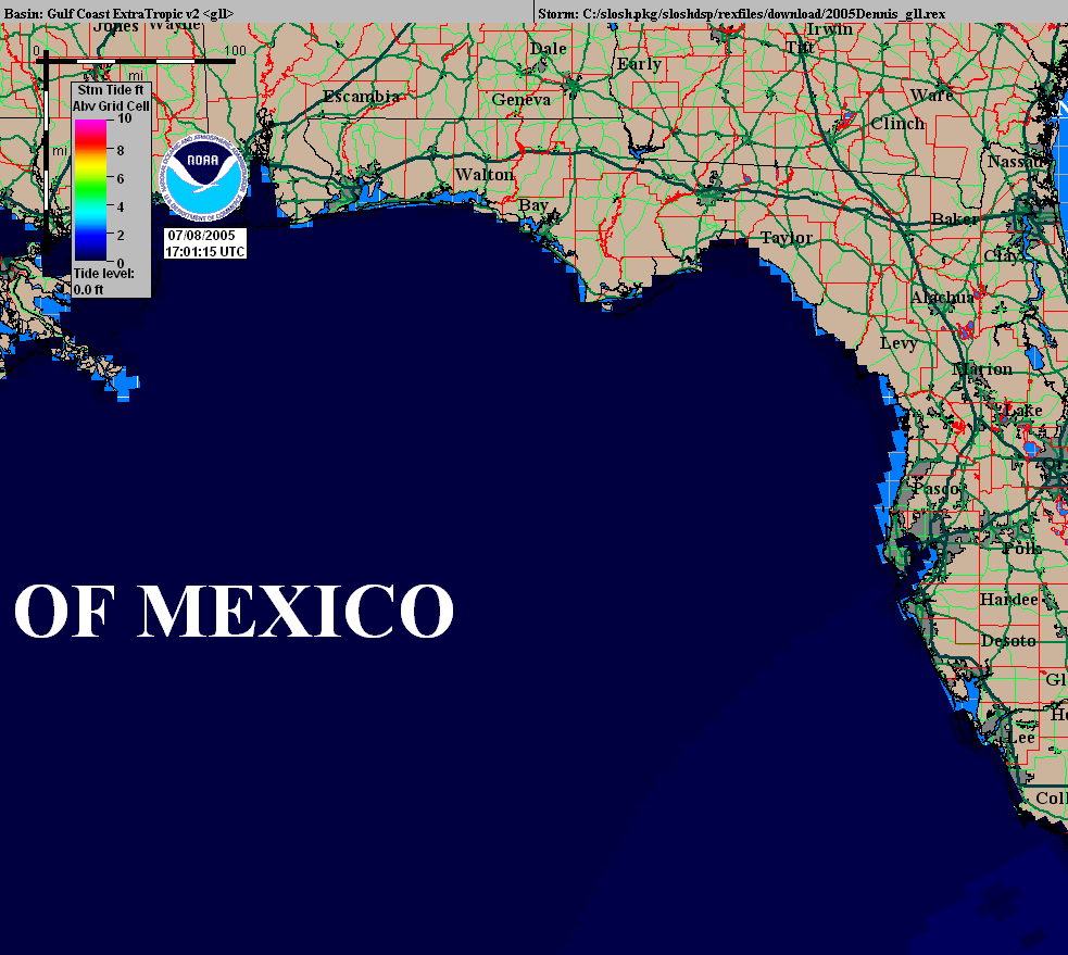
It is crucial to the SLOSH model to have an accurate track of an impending hurricane in order to correctly predict storm surge for a certain location. There are many SLOSH basins in the current model expanding the eastern coast of the United States and including Puerto Rico, Guam, Hawaii, the Virgin Islands, as well as some parts of China and India, that have taken into account the topography and bathymetry of the area to more accurately provide storm surge inundation risk and therefore help local governments and emergency management specialists to determine if evacuation is necessary. Additional basin are being added annually, at approximately 3 to 6 per year. It is crucial to note that if the storm track is not correct, or changes even slightly, the SLOSH model will not be accurate. Even minute changes to a hurricane track can greatly change the risk of storm surge due to variations in the topography of anticipated landfall. Below is an example of a SLOSH model historical run for Hurricane Dennis in 2005 that I found on the SLOSH website.
http://www.fema.gov/pdf/plan/prevent/nhp/slosh_display_training.pdf
http://slosh.nws.noaa.gov/sloshPub/disclaim.php
http://www.stormsurge.noaa.gov/models_obs_modeling.html
http://slosh.nws.noaa.gov/sloshPub/
http://www.nhc.noaa.gov/surge/slosh.php
Leave a Reply
You must be logged in to post a comment.